Morning ferry rides, sunset skyline views, and a riverfront park right outside your door — if that sounds like your pace, the Williamsburg waterfront deserves a closer look. You want the energy of Brooklyn with easy access to Manhattan, plus homes that range from historic lofts to full‑service towers. In this guide, you’ll learn how the waterfront feels day to day, where people gather, how you’ll get around, and what to expect from local buildings and amenities. Let’s dive in.
Williamsburg waterfront at a glance
The Williamsburg waterfront runs along the East River between the Williamsburg Bridge and the Greenpoint border, following the Kent Avenue and River Street edge. Over two decades, this former industrial zone evolved into a mix of preserved loft buildings, mid‑rise complexes, and new high‑rise towers, especially near the Domino Sugar redevelopment. You’ll find Manhattan views, active parks, and a steady flow of locals and visitors enjoying the riverwalk. Expect a hybrid vibe that blends neighborhood life with destination dining and rooftop scenes.
Two catalysts shaped today’s look and feel. The 2005 Greenpoint–Williamsburg rezoning and the 11‑acre Domino Sugar redevelopment unlocked new housing, commercial space, and public areas along the river. Domino Park opened in 2018 and reframed the southern waterfront as an all‑day promenade with skyline backdrops and community programming. For a sense of the area’s waterfront planning and cycling potential, review the Brooklyn Waterfront Greenway plan along this corridor on Kent Avenue and adjacent streets. Learn more about the Domino site’s evolution and the Greenway’s long‑range vision.
Homes on the waterfront: what you’ll see
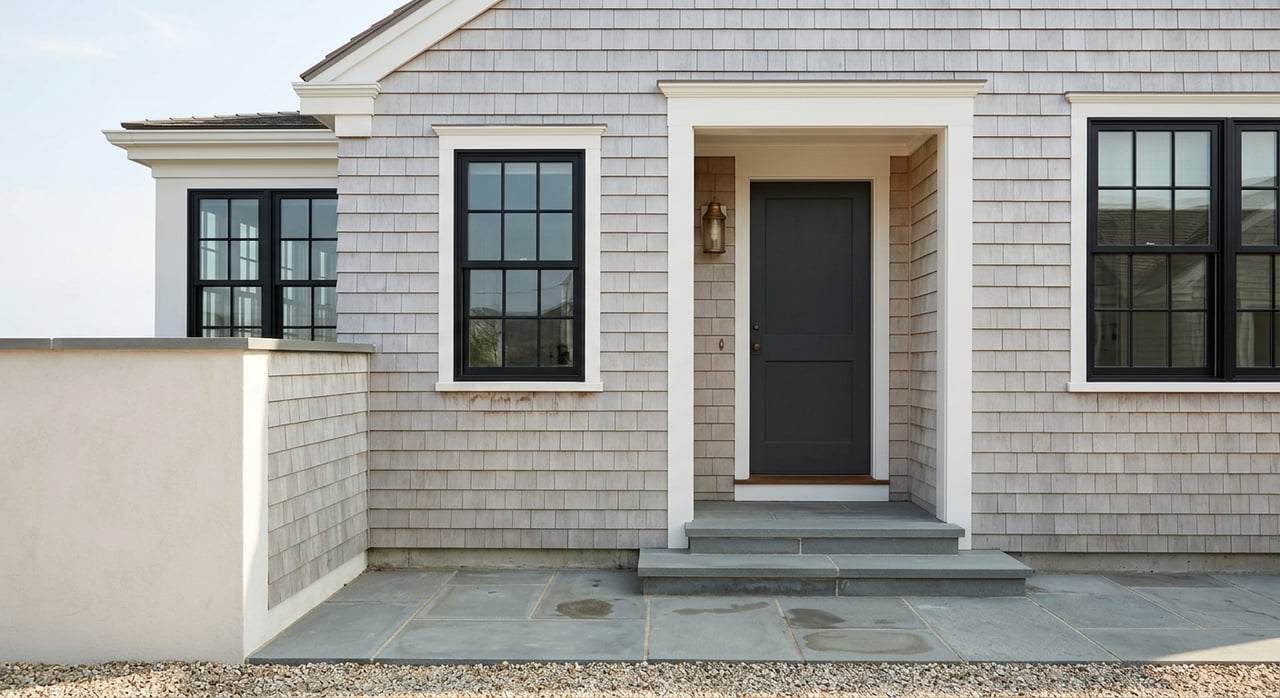
Lofts with history
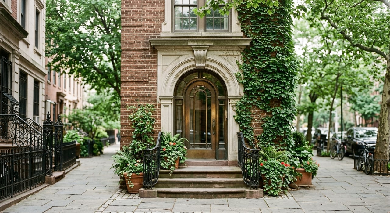
Converted warehouse buildings give you volume and texture. A standout is the historic Austin Nichols House at 184 Kent, a former industrial warehouse turned loft residences with high ceilings, exposed materials, and oversized windows. Think character first, with a side of river or skyline light. For a building profile and context, see the Austin Nichols House overview.
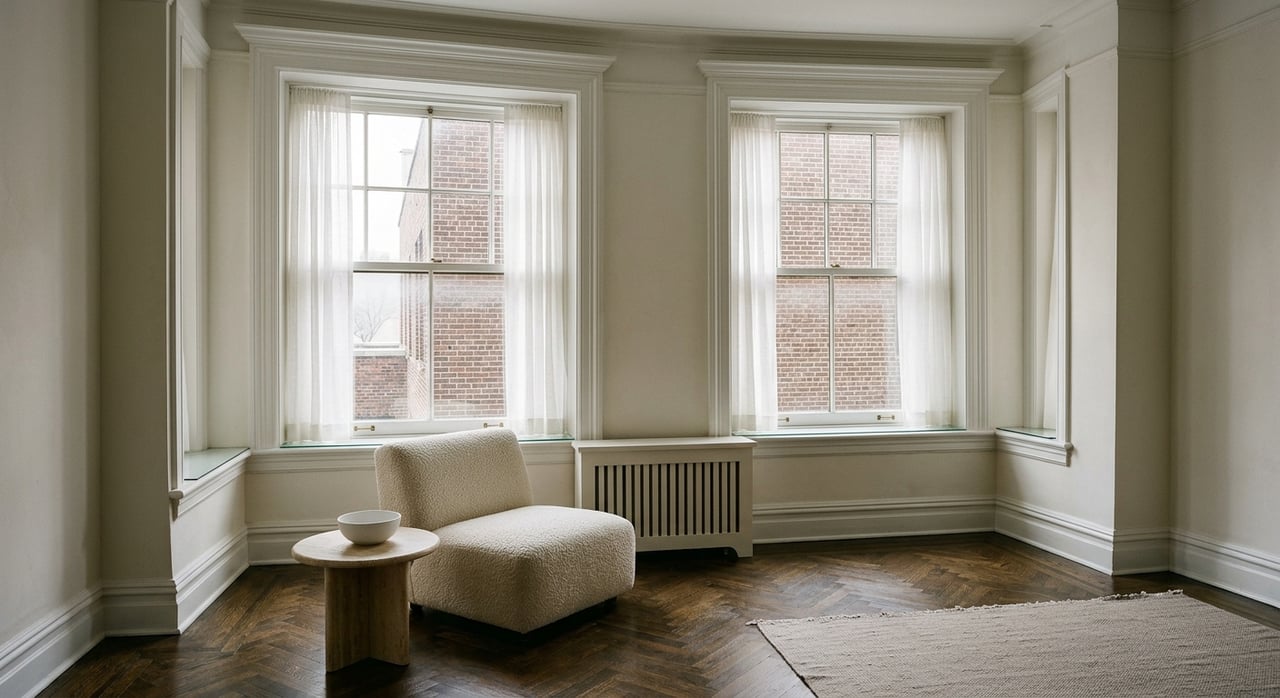
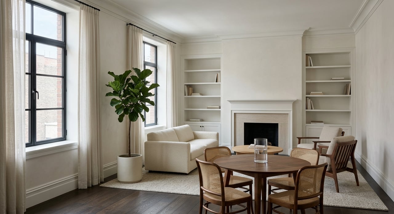
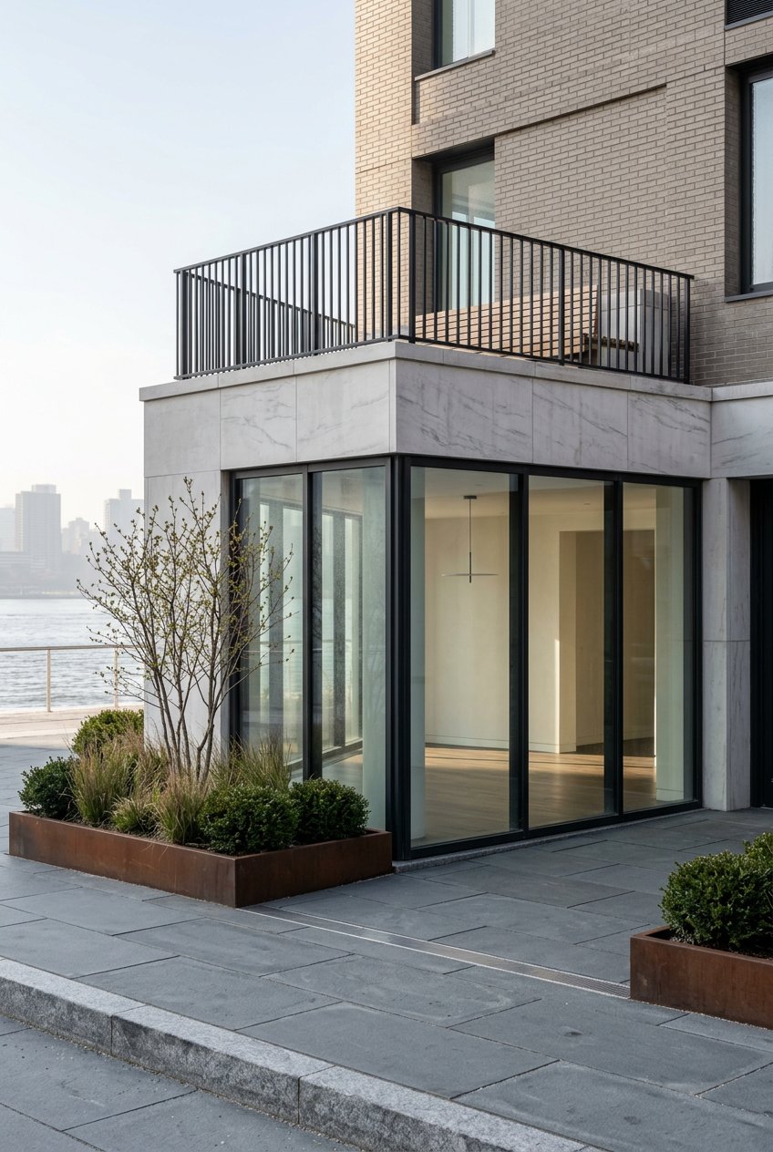
Amenity towers with skyline views
If you prefer modern conveniences and on‑site perks, the waterfront’s condo and rental towers focus on service and views. Representative names include The Edge, One Northside Piers and Two Northside Piers, Schaefer Landing, and the newer towers at the Domino redevelopment such as 325 Kent, 260 Kent, and One Domino Square. Expect resident lounges, concierge, fitness centers, pools, courtyards, and direct access to parks and ferry landings. For examples of these buildings and how they position around ferry access, review this roundup of waterfront condos.
Short sensory cues:
- Austin Nichols House: exposed beams and big windows.
- The Edge and Northside Piers: rooftop terraces, lap pools, and concierge.
- Domino towers: riverwalk access and amenity suites that feel like a club.
New masterplans and affordability
Large mixed‑use projects, most notably the Domino Sugar redevelopment, combine market‑rate housing, commercial space, and a required affordable housing component. Some affordable units have been offered through lotteries in recent years, and availability changes over time. If that is part of your plan, keep your search aligned with current official postings and timing. You can read about the broader redevelopment context here.
Parks and daily outdoor life
Domino Park
Domino Park is the anchor of the southern waterfront. It stretches across multiple blocks with a riverfront esplanade, play spaces, a dog run, volleyball courts, and preserved industrial artifacts like syrup tanks that nod to the site’s history. Since its 2018 opening, the park has become a daily routine for locals and a weekend draw for visitors. The design and programming also reflect a broader waterfront resilience mindset after major storms, which you can explore in this Domino Park feature.
Pro tip: sunset is peak time for skyline views. Early mornings are quieter for jogs and dog walks.
Marsha P. Johnson State Park and Smorgasburg
North of the bridge, Marsha P. Johnson State Park offers lawns, river views, and a simple waterfront edge for lounging and casual strolls. It is also the seasonal Saturday home of Smorgasburg, the open‑air food market that pulls big daytime crowds and creates a lively picnic scene. Get basic park details from New York State Parks and check the Smorgasburg site for current market dates.
Bushwick Inlet Park
Farther north, sections of Bushwick Inlet Park have opened over time, including athletic fields, a community building, and pop‑up lawns. Future phases plan more waterfront access such as a beach and kayak launch. Confirm what is open before you go, since work has been staged across many years. Read the park’s background and status on this overview.
Paths for walking and cycling
You can walk and bike much of the waterfront today, with the Kent Avenue corridor providing on‑street protected and two‑way bike paths in places. The long‑range goal is a continuous Brooklyn Waterfront Greenway that connects parks and piers, though you will still find occasional gaps and construction zones. For planning context, see the Greenway implementation plan. If you ride daily, scout your route at different times of day.
Getting around: ferry, subway, bikes
NYC Ferry on the East River
Many residents use the NYC Ferry’s East River route as a scenic alternative to the subway. The North Williamsburg stop sits around North 6th Street, and a South Williamsburg landing serves the bridge area. Service connects to DUMBO, Midtown East at East 34th Street, and Wall Street at Pier 11, with occasional route variants at peak times. Always check the NYC Ferry East River schedule before you plan a commute.
Subways near the shoreline
You have multiple subway choices within a short walk of most waterfront buildings. The L at Bedford Avenue links to Manhattan’s 14th Street corridor. The G line connects crosstown in Brooklyn, and the J/M/Z near Marcy Avenue reaches Lower Manhattan. Station work and accessibility upgrades have continued in recent years, including improvements at Bedford Avenue on the L, which you can see in this MTA update.
First and last mile tips
If you live directly on the river, plan your walks to the train and the ferry based on weather and time of day. Some larger towers run private shuttles to nearby stations, which can help in peak hours. Bike routes are improving, but construction can create detours. Budget a little time at first and adjust as you learn your routine.
Dining, rooftops, and culture snapshots
Rooftop views worth the elevator ride
Rooftop venues define part of the waterfront’s nightlife. For a panoramic perch, Westlight at The William Vale has long illustrated the “view plus cocktails” scene, which you can see in this profile. The Wythe Hotel also runs a rooftop program that pairs skyline sunsets with food and wine. Hours and reservation policies change with seasons and events, so verify before heading out.
Weekend food and picnics
On Saturdays in season, Smorgasburg brings dozens of food vendors to Marsha P. Johnson State Park and fills the lawns with picnic blankets. It is a social way to sample new bites and enjoy the river breeze. Expect bigger crowds on clear afternoons, with quieter moments earlier in the day.
Live music and small venues
Williamsburg’s indie‑music roots still shape the neighborhood identity. The Music Hall of Williamsburg is a well‑known touchpoint in that story, though openings and closures shift over time. If live music is part of your routine, confirm a venue’s current status before you go. Read more about the hall’s background in this overview.
Is waterfront life a fit? Pros and tradeoffs
What you may love:
- Daily river views and photogenic sunsets.
- Easy access to Domino Park, Marsha P. Johnson State Park, and segments of Bushwick Inlet Park.
- Ferry rides to DUMBO, Midtown East, and Wall Street as a scenic commute option.
- Amenity‑rich buildings and loft conversions that offer very different styles.
What to consider:
- Weekend crowds around parks and markets can be lively and loud. Visit at different times to gauge your tolerance.
- Nightlife near Bedford Avenue and hotel rooftops adds late‑night energy to some blocks.
- Riverfront paths are improving, but greenway gaps and construction zones still appear.
- Dog rules vary by park and by agency. Check posted signs before you go.
- Many new park and promenade designs reflect post‑Sandy resilience goals, which shape the look and use of the shoreline.
How to shop for a waterfront home
Tour at different times. Visit morning, after work, and on a sunny weekend to feel the shift in crowds, noise, and light.
Compare building types side by side. Lofts offer volume and texture; towers offer amenities and services. Stand in the lobby, ride the elevator, and step onto the terrace or esplanade if access is open.
Map your commute options. Test both the ferry and subway. Build in a buffer for weather and service changes, and confirm current schedules on official websites before relying on specific timing.
Review amenities, fees, and policies. Pools, gyms, roof decks, lounges, storage, and parking can change how you live and what you pay. Ask about guest policies and any shuttle services.
Watch for affordability programs. Large mixed‑use sites may include affordable units offered through lotteries. Availability and rules change, so track official postings and deadlines if this is part of your search.
Bring a valuation mindset. If you plan to buy or sell, align layout, exposures, and building comps with a data‑driven pricing strategy. That discipline, paired with strong marketing, helps you position your move and protect your outcome.
Ready to explore Williamsburg’s waterfront or value a property you own? Connect with Julio Izquierdo for clear guidance, data‑backed pricing, and a concierge experience. Prefer Spanish? Hablemos en español. Get your instant home valuation.
FAQs
What area does the Williamsburg waterfront cover?
- It runs along the East River from the Williamsburg Bridge up toward the Greenpoint border, following the Kent Avenue and River Street corridor with parks and esplanades.
What parks are on the Williamsburg waterfront?
- Domino Park, Marsha P. Johnson State Park, and sections of Bushwick Inlet Park offer lawns, play areas, athletic fields, and riverfront paths.
How do you commute from the waterfront to Manhattan?
- Many residents use the NYC Ferry’s East River route to DUMBO, Midtown East, or Wall Street, or take the L, G, and J/M/Z subways depending on their destination.
What types of homes are common on the waterfront?
- You’ll find historic loft conversions with high ceilings and large windows, plus modern mid‑rise and high‑rise buildings with concierge services and amenities.
Is the Williamsburg waterfront quiet at night and on weekends?
- Not always. Parks, markets, and nightlife bring energy and foot traffic, especially on sunny weekends. Quieter pockets often sit a few blocks inland.
Where is the weekend food market in Williamsburg?
- Smorgasburg operates seasonally on Saturdays at Marsha P. Johnson State Park, drawing crowds for outdoor dining and picnics along the river.